
We're Here to Help
Get in Touch
Ready to start your journey? Reach out to our friendly team for enquiries, bookings, or any questions you may have.
Our Clinics
Visit Us in London & Essex
Three convenient locations. All clinics operate by appointment only.
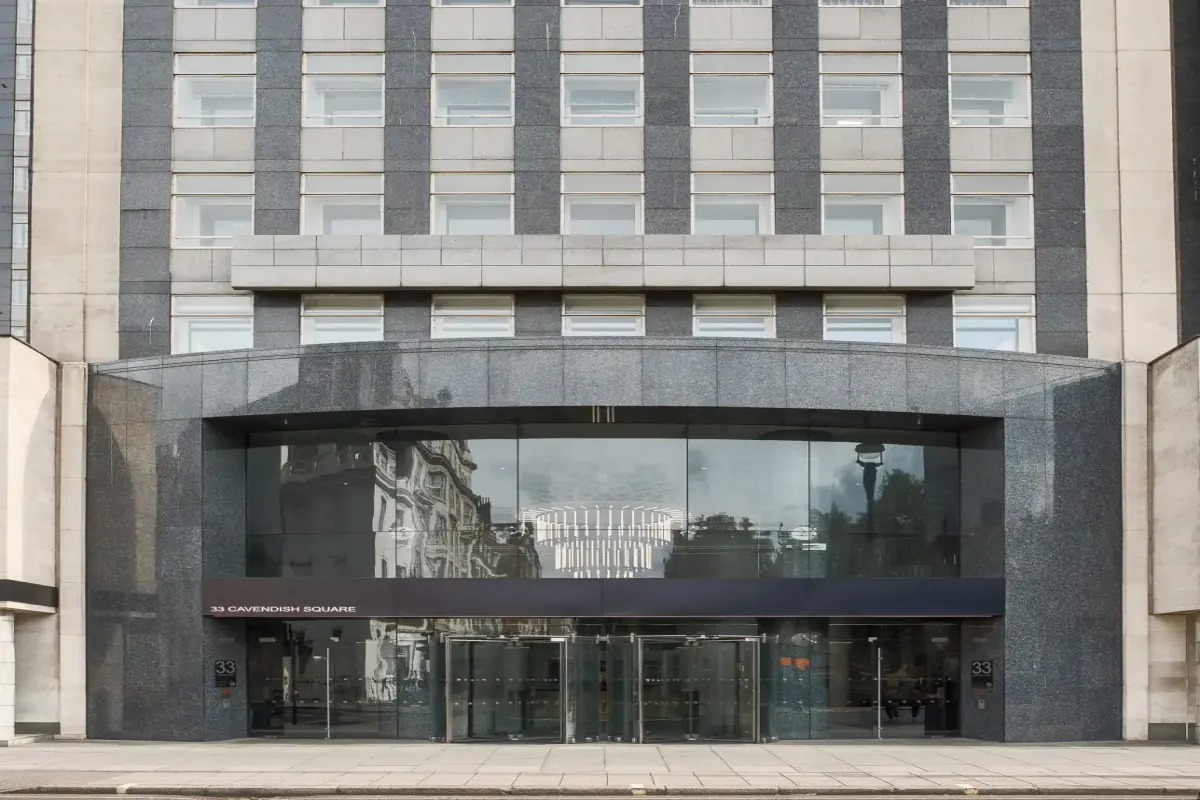
Flagship Clinic
Harley Street
Address
33 Cavendish Square, London W1G 0PW
Opening Hours
10:00 AM - 9:00 PM
7 Days a Week
Phone
+44 20 4541 7370
Ready to Start Your Journey?
Book your consultation today and take the first step towards your aesthetic goals.